
It took eighteen posts to explore San Diego’s Historical Landmark #1! Now that we’re finished, the other landmarks should be much faster. However, the most recent list I have right now, dated May 26, 2011, has 999 historical landmarks, so if I did one post per day, we’d be here for three years! I’m not doing one post per day just on historical landmarks, so it’s probably going to be more like five or ten years. We best get busy!
San Diego Historical Landmark #2 is the Old Mission Dam & Flume at Padre Dam. Looks like this:

![]()
The Old Mission Dam was the first major irrigation project on the Pacific Coast. It is located on the San Diego River as it runs through what is now Mission Trails Regional Park, the largest municipal park in California.

![]()
That’s my shadow in the bottom right corner. Does that count as a selfie?
The wall welcoming you to the nearest entrance to the park has a representation of the San Diego River on it.

![]()
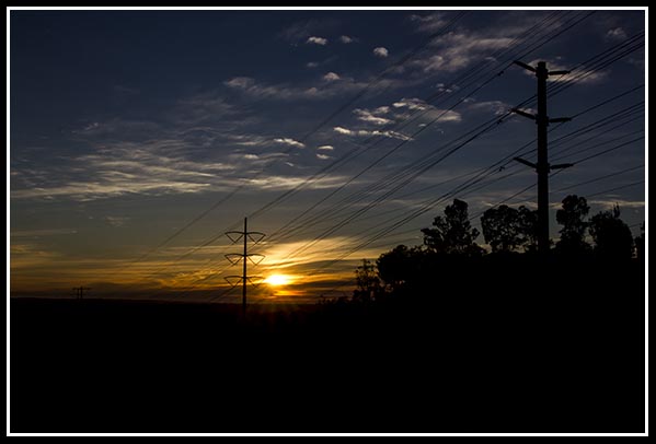
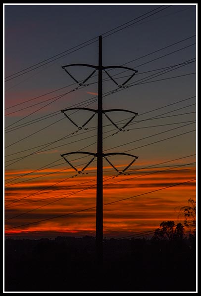
In the following Photographic Art, titled “Purple Mountains Majesty,” the green coursing through the canyon between the mountains is the San Diego River and the location of the Old Mission Dam.

Also called “Padre Dam,” the stone and cement dam is 220 feet long, 13 feet wide at its base and 12 feet high. Water was released from the dam for a sawmill and irrigation at the Mission San Diego de Alcalá, California’s first mission, six miles away.
Following is more about the dam, and I have put the graphic into words below it for my foreign readers since Google Translate can’t translate text on a graphic.

![]()
From the above graphic:
In the early 1800’s, the Spanish saw the need to control the flow of water and to provide it year-round for their permanent settlements. To solve this problem, engineers trained in Mexico supervised Kumeyaay Indian laborers in building one of the first major irrigation projects in the western United States.
The 250-foot long Old Mission Dam (formerly known as Padre Dam) was built 8 to 10 feet wide and nearly 12 feet high, using ropes, pullies and hand labor. Rocks and boulders were cemented together with a mortar made of lime and crushed seashells.
The reservoir created by the dam was three football fields long. A flume, lined with hand-made clay tiles, was built along the north side of the river to deliver water to the head of the Mission’s crop fields (located where the Admiral Baker Golf Course is today), about three miles downstream from the dam. From the fields, a 2.5 mile clay-lined ditch carried water the remaining distance to the Mission, where it was then stored in a tank on site.
To protect this unique and historic engineering achievement, the Old Mission Dam was registered as both a National Historic Site, as well as a California State Historic Landmark.
A Google map showing the dam and the Admiral Baker Golf Course:

![]()
Mission San Diego de Alcalá was founded in July 1769, and the dam was built as early as 1803 (source: List of San Diego Historical Landmarks) and as late as 1813-1816 (all other sources). I’m going with 1813-1816.

![]()

![]()

![]()
From the above graphic:
The Old Mission Dam
The dam was constructed from granite boulders and limestone mortar. Notice the gap, where in the actual dam, there was once a 12-foot wide wooden floodgate. A smaller gap on the opposite side of the dam held a wheelbox outlet, which opened directly to the flume and was used to run a water gristmill. Imagine the vital impact this water project had on the increase in crop production and the sustainability of life in this area.
Here’s the big gap:

Old Mission Dam is California Historical Landmark #52 and a United States National Historic Landmark, and is listed on the United States National Register of Historic Places.
![]()
For the introductory blog post
to San Diego’s historical landmarks,
click on San Diego’s Historical Landmarks.
For previous posts in the
San Diego Historical Landmarks series,
go here.
![]()
This post approved by

Need a unique gift? Have Bare Wall Symdrome?
Visit Photographic Art by Russel Ray Photos at Fine Art America.